Rescue Teams Warn: Why Relying on Google Maps in the Mountains Puts Hikers at Risk
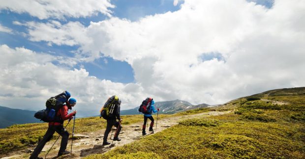
Mountain rescue teams report an increase in cases where young hikers get lost due to relying on Google Maps during outdoor trips.
 🚨Events
Photo: UNIAN
Key points
- Rescuers report more lost hikers due to Google Maps
- The app lacks details on steep cliffs and 3D terrain
- Experts recommend carrying paper maps and a compass
Modern technology has become an integral part of everyday life, yet attempting to use conventional urban navigation tools for wilderness orientation frequently ends in search and rescue operations. Experts emphasize that the convenience of daily apps creates a false sense of security among travelers.
Why Standard Navigation Apps Fail in Mountain Terrain
Specialized rescue services note that they increasingly have to assist missing travelers, particularly those aged 18 to 24. The primary cause is total reliance on smartphones running Google Maps. Unlike dedicated topographic maps, this service fails to display complex three-dimensional terrain, steep rocky outcrops, or narrow hiking trails, which are critical for safe navigation in rugged areas.
- Smartphones quickly lose battery power in cold weather or without coverage.
- Lack of mobile signal makes online maps impossible to update on the go.
- Traditional paper maps and compasses remain a safer, reliable backup.
Specialists advise combining basic navigation skills with specialized hiking applications or classic paper maps to prevent dangerous situations far away from civilization.
Source UNIAN — unian.ua/tourism/lifehacking/yak-oriyentuvatisya-na-miscevosti-pid-… ↗
Read next
 💼Economy
The Power of Digital Words: How the 2013 Events Transformed Ukrainian Media and Society
A retrospective look at the events of November 2013 shows how a simple social media post triggered global changes in the media landscape and the state.
 🇺🇦Ukraine
Volodymyr Zelenskyy Names Potential Candidates for Ukraine's Ambassador to the US
The President of Ukraine announced that several candidates are being considered for the diplomatic post in Washington, including former ministers and top officials.
 💼Economy
Ukraine Prepares New Humanitarian Missions in Occupied Territories Following Oleshky Model
President Volodymyr Zelenskyy announced preparations for new humanitarian operations to evacuate citizens from temporarily occupied areas of Kherson and Zaporizhzhia regi…
 ⚽Sport
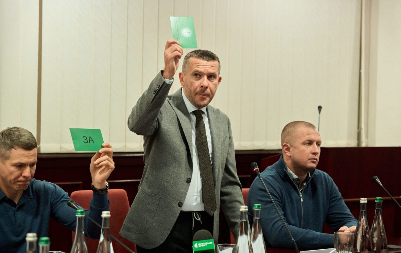
Ivan Kulko re-elected as President of the Biathlon Federation of Ukraine
During the reporting and election conference, all 86 delegates unanimously voted to re-elect Ivan Kulko as the head of the Biathlon Federation of Ukraine for another four…
 🛡️Security
Zelenskyy: Strikes on Crimean Bridge are justified response to 109 Russian attacks on Ukrainian bridges
President Zelenskyy stated that the Crimean Bridge is a legitimate military target due to its role in Russian logistics.
 💡Tech
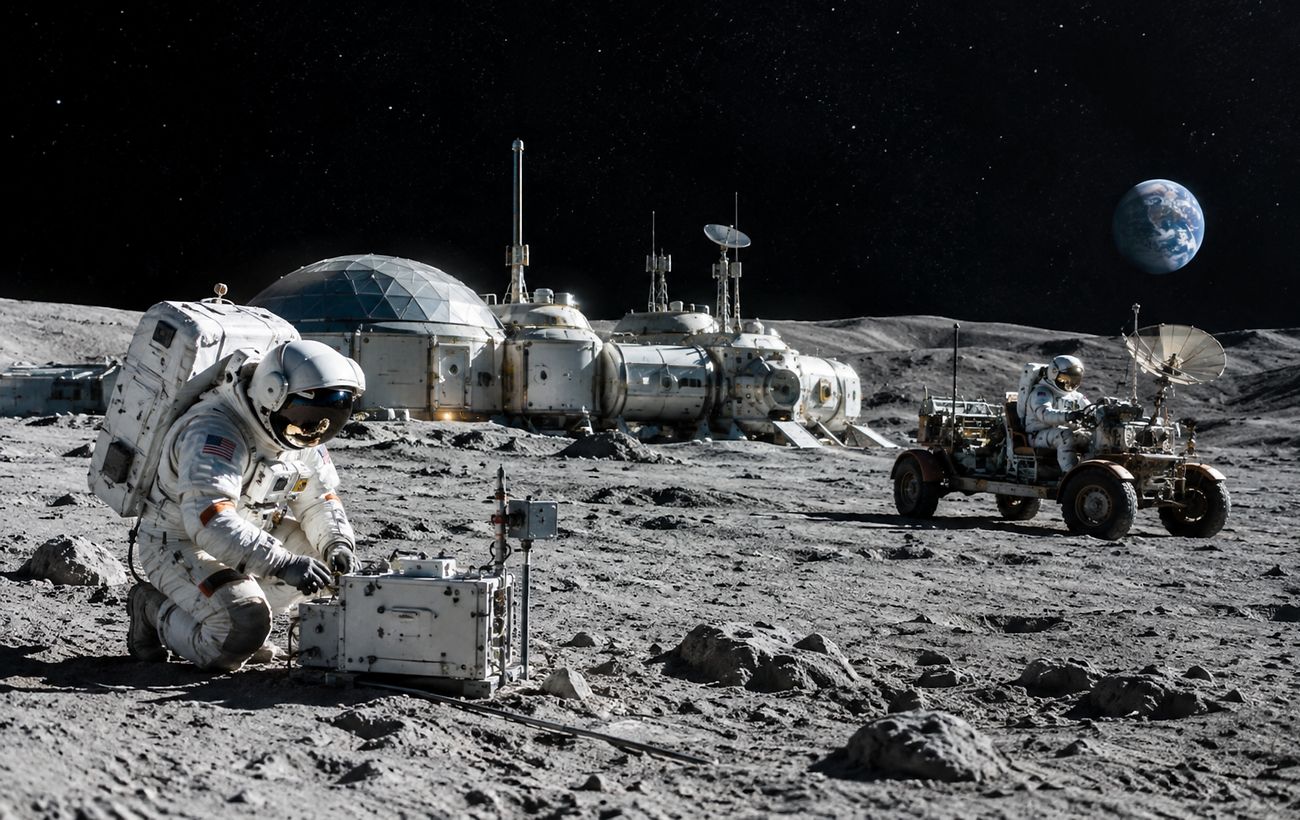
Future Space Tech: NASA Develops Core Solutions for a Permanent Lunar Base
NASA and international scientists are advancing key technologies for a permanent base on the Moon. Focus areas include reliable power generation, in-situ resource utiliza…